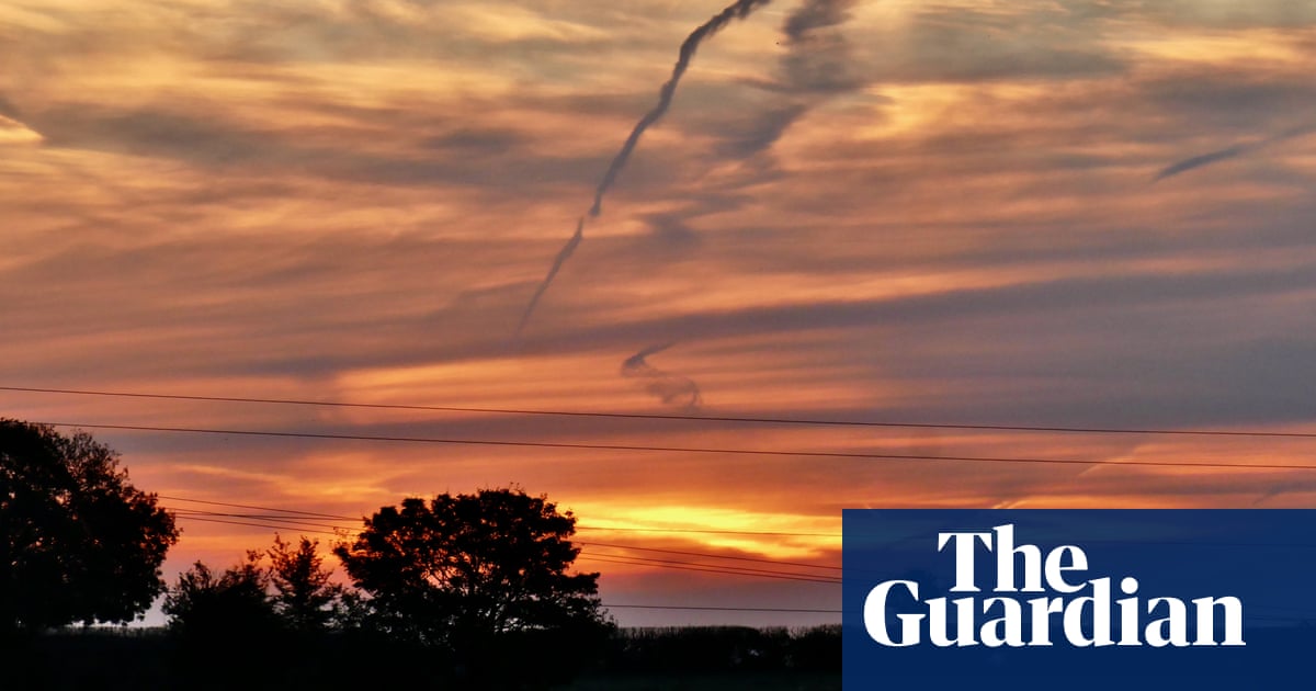
North-west Europe is forecast to experience a burst of autumn warmth this week, thanks to warm air from southern Europe spreading northwards. This brief episode of warmer-than-average conditions will be driven by an amplified, or âwavyâ, jet stream, which will allow warm air to push farther north.
Daytime temperatures across much of France are forecast to reach the mid-20s on Tuesday and Wednesday, with some areas in the south-west potentially exceeding this. Meanwhile, the Benelux area and south-east England are expected to reach the low-20s by midweek.
However, the most notable temperature anomalies will occur during Tuesday night, when temperatures will stay in the high teens for areas of north-west Europe, 5-10C above October averages. In parts of southern France the temperature may not drop below 20C, a phenomenon known in meteorology as a âtropical nightâ.
Although an amplified jet stream can sometimes result in a blocked pattern, in which conditions persist for several days, this warm period is expected to be more short-lived, ending with a bang as heavy rain and thunderstorms push in from the south-east.
Significant rainfall is possible over Franceâs Massif Central, with forecast models suggesting more than 100mm (3.9in) could fall within 24 hours over Wednesday and Thursday.
Recent weather patterns have also been unusual in the Sahara desert. While rain in the Sahara is not uncommon, there have been higher-than-average amounts in recent months, with some parts of the desert receiving five times their usual precipitation in September. The deserts of south-eastern Morocco â usually one of the driest regions on Earth â had two days of torrential rain that exceeded the yearly average.
Some areas recorded more than 100mm within 24 hours, with downpours unleashing destructive flood waters that resulted in 20 fatalities and devastated local agriculture, as many farmersâ harvests were washed away.
However, after six years of drought, this rainfall has brought some relief for some, replenishing groundwater aquifers vital to desert communities and refilling reservoirs at record rates.
Meteorologists suggest the increase in rainfall may be linked to a northward shift in the intertropical convergence zone (ITCZ), a low-pressure band circling the Earth near the equator, where winds from the northern and southern hemispheres converge. Although there is no clear explanation for the shift in the position of the ITCZ, some climate models have linked it to higher air and ocean temperatures owing to the climate crisis.


