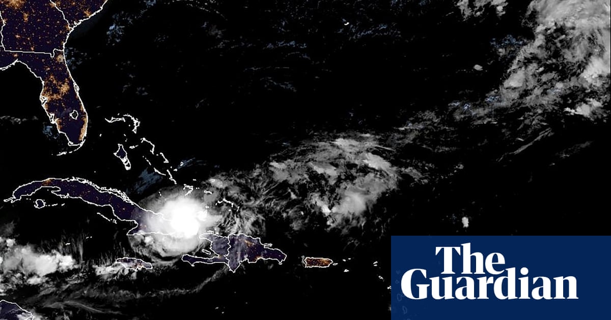
Hurricane Oscar has become the 10th hurricane of the 2024 Atlantic season, battering the Turks and Caicos Islands on Saturday night and the far southern Bahamas on Sunday.
The disturbance that eventually became Oscar was initially given a low chance of tropical development by the US National Hurricane Center. It began on 10 October as a tropical wave across western Africa, bringing thunderstorms and gusty winds to the Cabo Verde Islands, before moving westwards over the Atlantic. However, it struggled to become sufficiently organised at it progressed, as dry air inhibited further thunderstorm development.
By early on 19 October, the disturbance had travelled to the north of Puerto Rico, and the chance of further development remained low. However, over the next 12 hours, thunderstorm activity became sufficiently strong and organised for the system to be classified as a tropical storm and named Oscar.
Hurricane hunters flew into the storm and detected a small area of hurricane-force winds, leading to Oscar’s upgrade to hurricane status. Oscar will affect eastern Cuba on Monday, and is then expected to track northwards and rapidly transition to a powerful extratropical cyclone, potentially bringing wind gusts above 70mph to parts of south-eastern Canada later in the week.
Elsewhere in the tropics, the remnants of tropical storm Nadine are expected to redevelop into a new tropical system to the south of Mexico during the early part of this week – tracking westwards with no significant impacts to land.
In Australia, temperatures have continued to trend above average in October, after the warmest August and fourth-warmest September on record. In the past week, large parts of the south and east have had daily highs reaching the high 30s and low 40Cs, several degrees above the October average.
On Thursday, South Australia suffered its highest temperature in 29 years when the town of Coober Pedy reached 43.7C, while temperatures in parts of Queensland at the weekend reached as much as 11C above average. This heat has fuelled several outbreaks of heavy showers and thunderstorms.
Conditions were particularly severe across New South Wales and Victoria on Friday, with torrential downpours causing some flash flooding – one town in Victoria received 50mm of rain in 45 minutes – alongside damage from strong wind gusts, hail stones as large as gold balls, and about half a million lightning strikes.
Over the coming week, heatwave conditions will shift across the continent to northern parts of Western Australia, where night-time temperatures are expected not to drop below 30C in places later this week.